Drone Pictures Reveal Landscapes Still Scarred By First World War
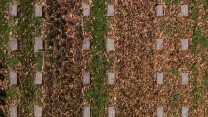
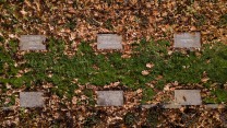
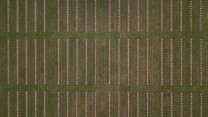
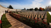
Shell craters and trenches mark the countryside (Image: SWNS)
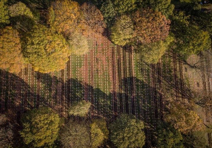
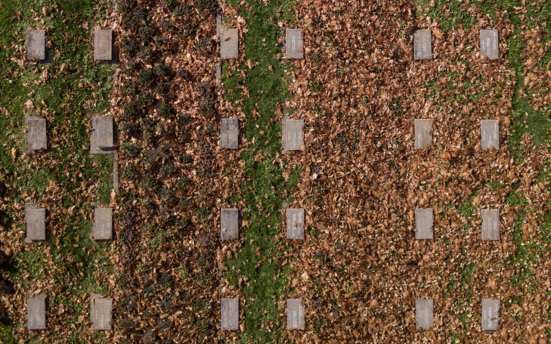
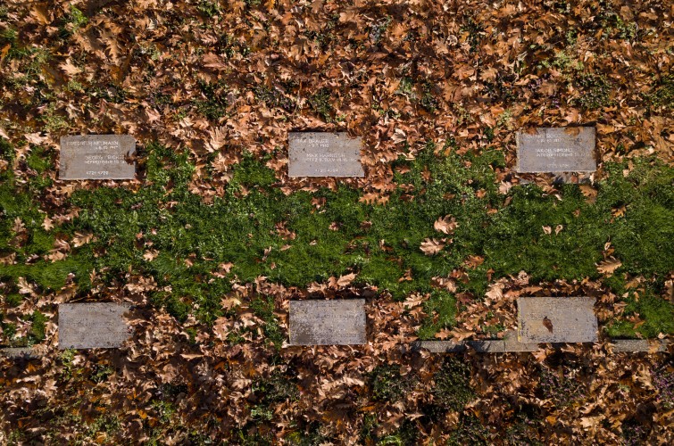
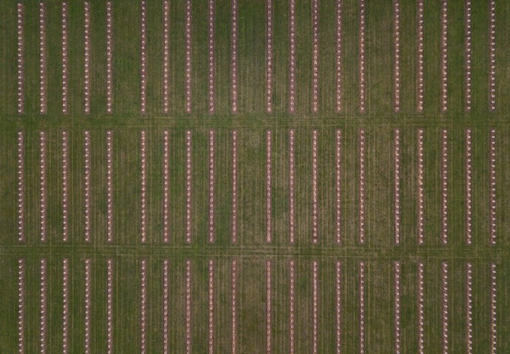
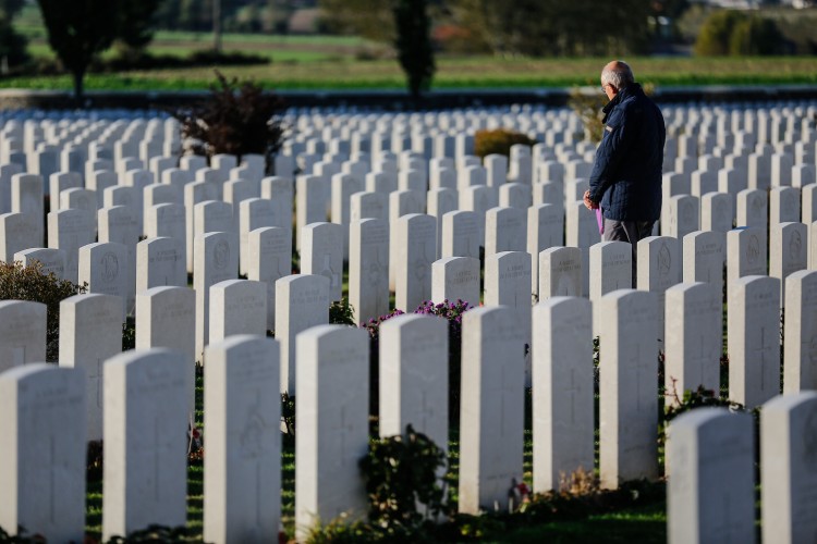
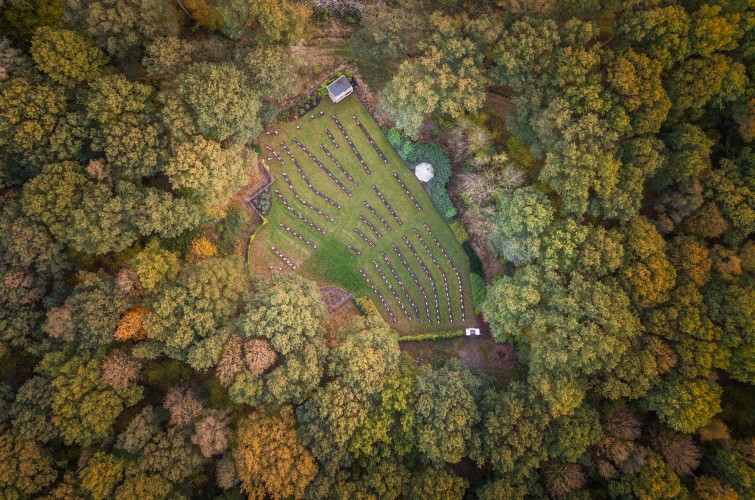
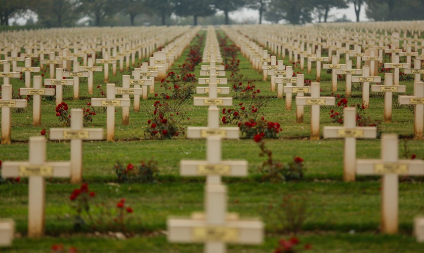
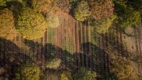
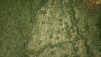
Aerial photographs reveal First World War mass graves, trenches and bomb craters that have been covered over by grass.
The images from 125ft up show the scale of the destruction - with ranks of white grave marking the Belgian countryside.
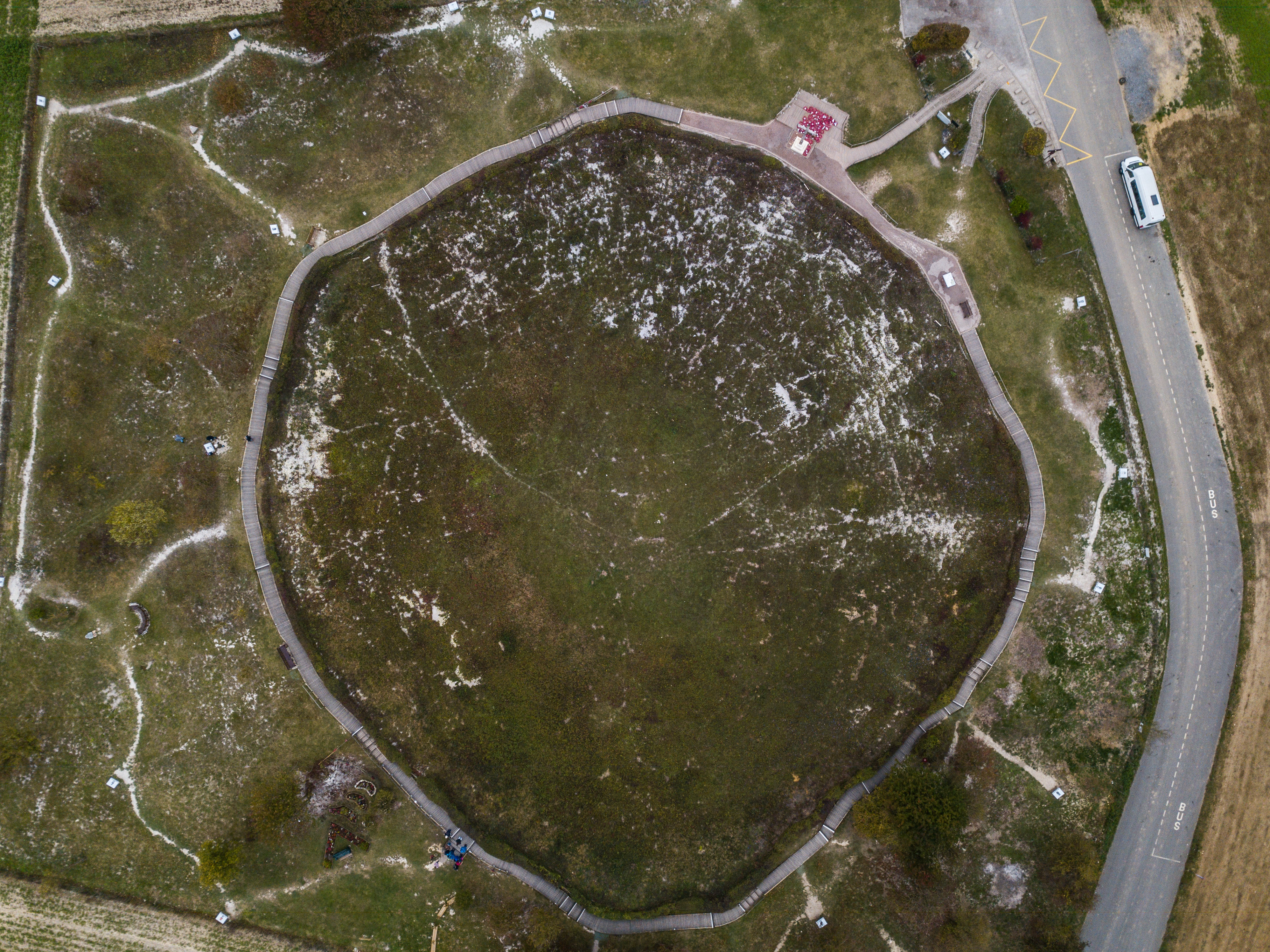
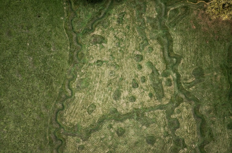
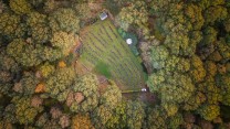
Lochnagar Crater marks the site of an explosion from a British mine beneath the German lines signalling the start of the Battle of the Somme.
.")


, Belgium.")
, Belgium.")


.")


, Belgium.")
, Belgium.")


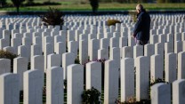


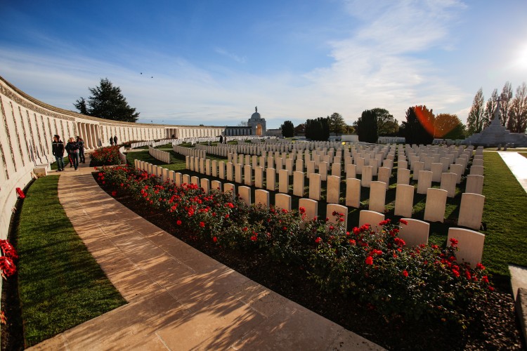
Photographer Tom Maddick, who took the photos on a tour of First World War cemeteries, said: “It was humbling.
“Especially seeing some of the trenches up close, and being among the graves really brings home the scale of it.”
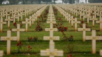
The ring of memory south-east of Calais bears the names of 576,606 soldiers of 40 nationalities who died in the front's battles.
Beaumont-Hamel Newfoundland Memorial has preserved the trenches in memory of the Newfoundland Regiment which was almost completely wiped out on the first day of the Somme.
Related topics
Join Our Newsletter