A picture beneath the water: HMS Magpie surveys the Thames to protect crucial port

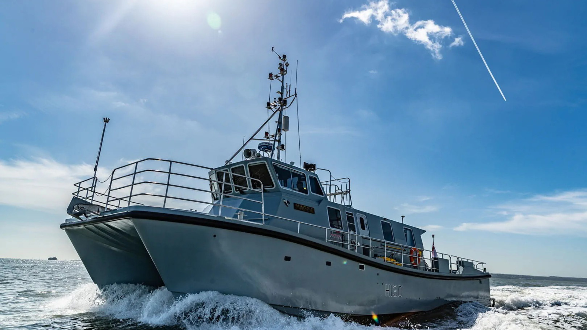
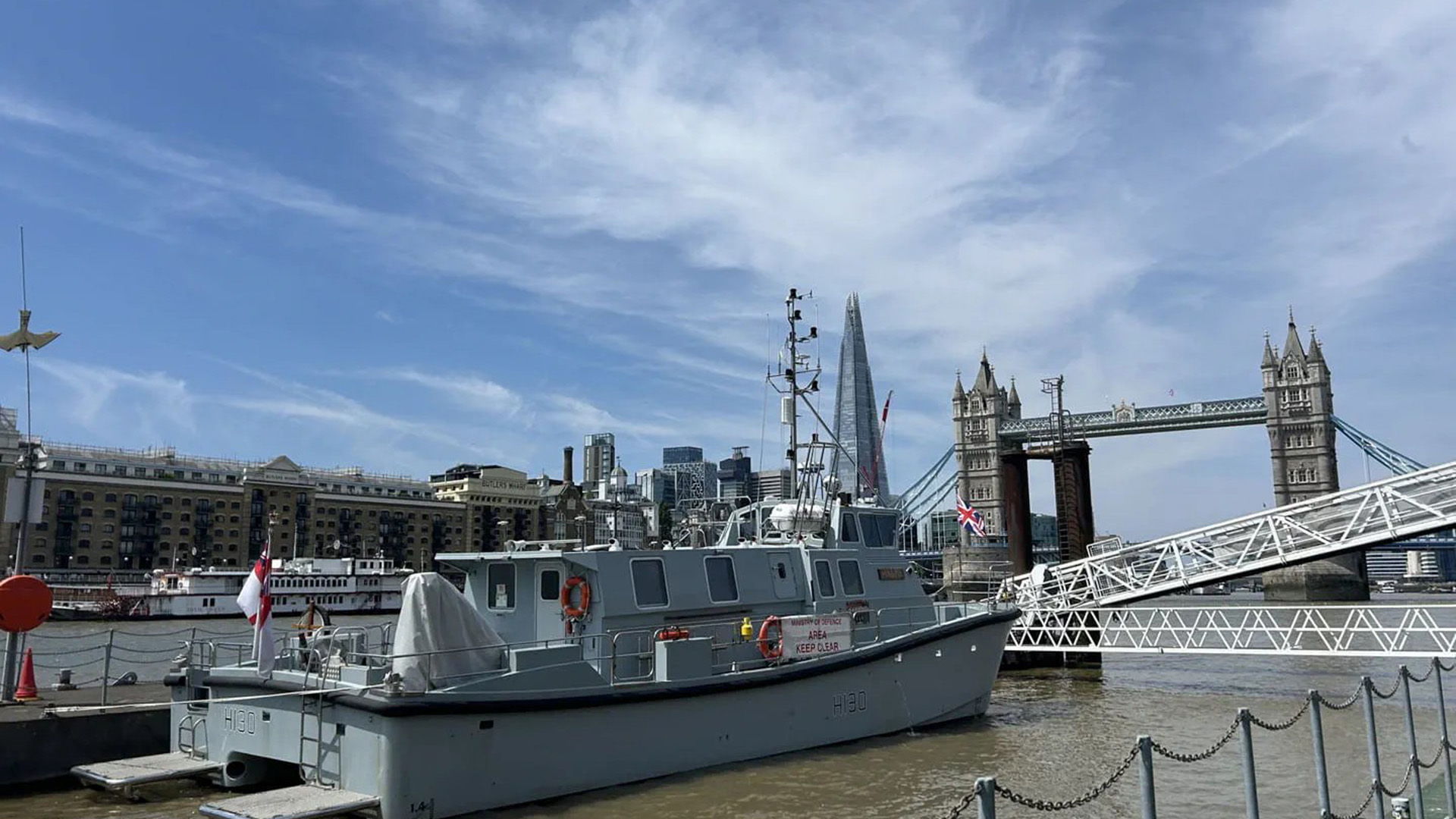
One of the Royal Navy's smallest vessels has carried out a survey of the Thames Estuary to help support the safety and security on the river.
HMS Magpie has gathered vast amounts of data, in particular around London Gateway – the second most important container port in the UK – to create a detailed picture of the Thames' riverbed and any changes to it, either through natural causes or potential interference by unknown actors.
The port, which is based near Canvey Island, Essex, handled a record three million containers last year.
Keeping critical waterways open
Around one third of all the UK's containerised imports and exports flow through this port.
"By providing this picture of the maritime environment, Magpie has built the foundations necessary to ensure the River Thames and the strategic ports therein are able to remain safe and open to all users of this critical waterway in [a] time of conflict," Lieutenant Daisy Nelson, HMS Magpie's Commanding Officer, said.
"It is this enduring work that Magpie conducts – alongside her sister vessels in the Royal Navy's Hydrographic Exploitation Group – which assure[s] both freedom of navigation and understanding of the underwater battlespace, now and into the future.
"We cannot be sure what the operational commanders of tomorrow will need, but we can be sure that as far keeping our critical national waterways open goes, we're ready."
HMS Magpie's main role is to build highly accurate bathymetric or water data to support military operations in inshore waters.
The vessel, which is 18 metres long and weighs 37 tonnes, is operated by a handful of specialist Royal Navy hydrographers, who use the latest survey equipment to mine huge amounts of data.
Mapping the Thames
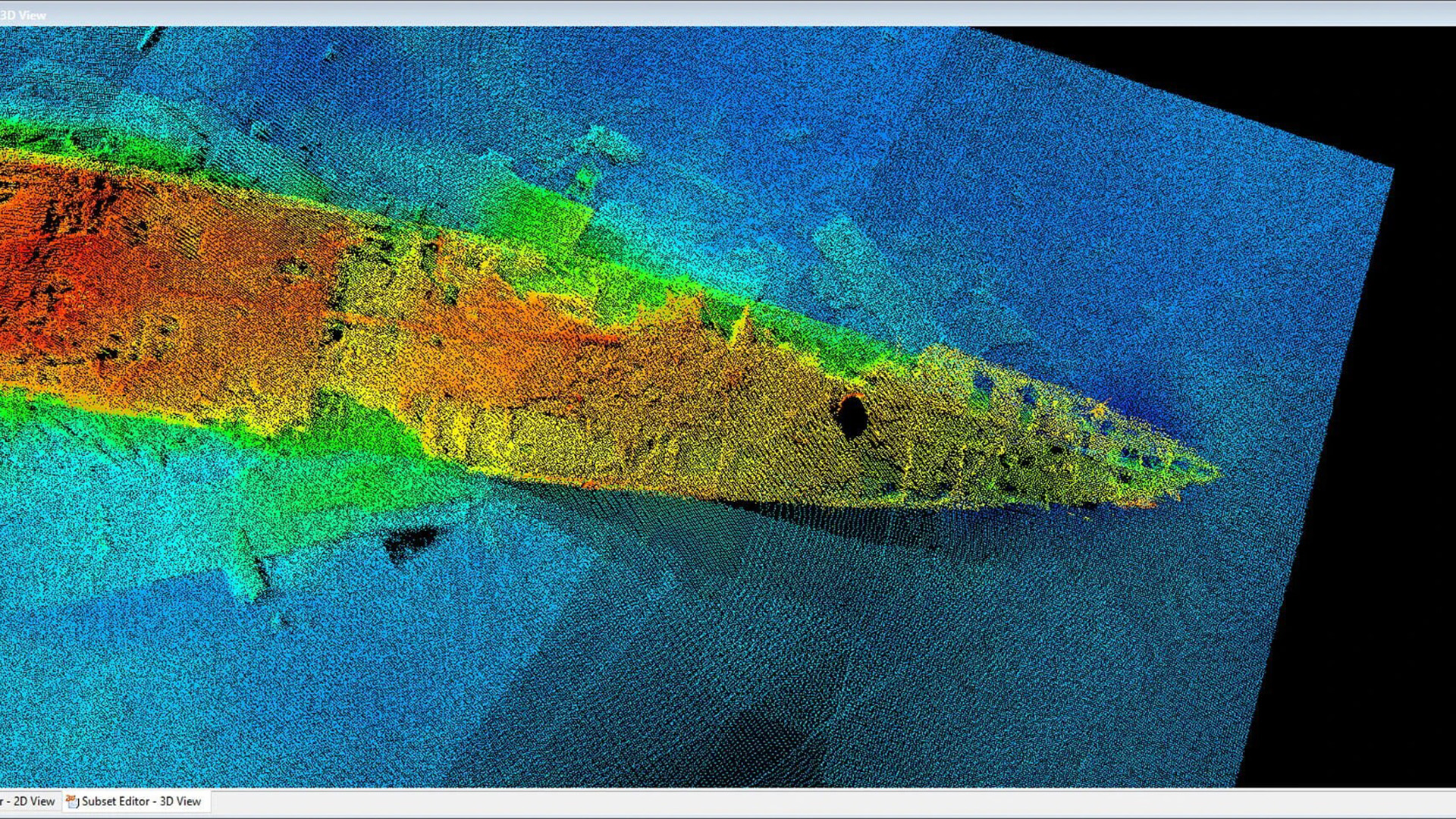
Her multibeam echo sounder can fire more than 500 individual sound pulses into the water column at once, 400 times a second.
The area covered by a 'ping' depends on the depth of water, and those within the Thames allowed up to 65m of data to be collected in a single ping.
Over the last 12 weeks, she has generated a comprehensive picture of the Thames, including the river's depth, topography and seabed type with an accuracy down to a centimetre.
The UK Hydrographic Office's experts in Taunton, who build charts used by both the military and civilians to safely navigate the world's seas, have been reviewing the data.
Surveying the waters around HMS President
The ship was also tasked with surveying the waters around the Royal Navy's home on the Thames, HMS President, at St Katherine Docks near Tower Bridge.
The reservist base is subject to a punishing tidal regime, which sees up to 30 million tonnes of water racing past the jetties in a single tidal cycle, leaving an impact on the surrounding riverbed's topography.
The Magpie team provided a three-dimensional image of the area around HMS President's underwater infrastructure in several hours, which will be used to ensure the long-term sustainability of the base.
During the data collection, the ship hosted her affiliated livery company, the Worship Company of Tylers and Bricklayers, as well as Ministry of Defence civil servants.
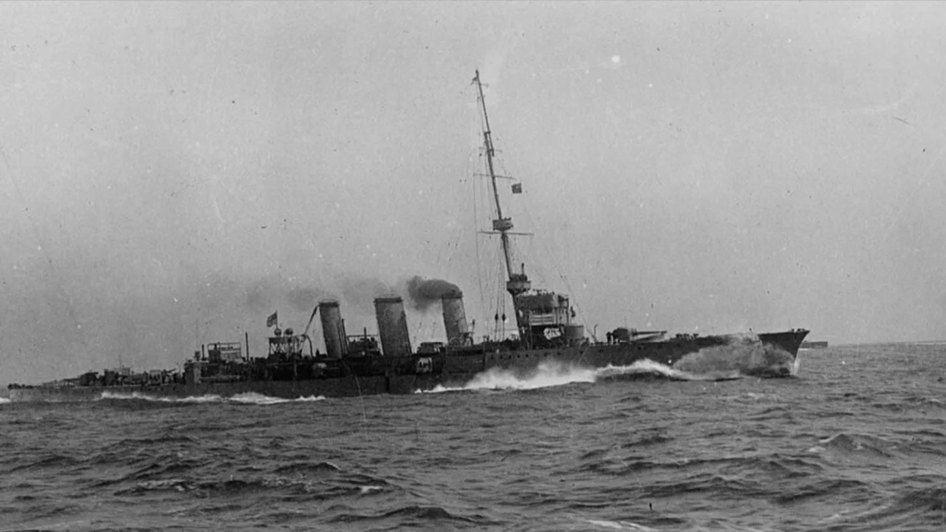
The vessel has now shifted its focus to the East Coast, including surveying several military shipwrecks on behalf of the Salvage and Marine Operations (SALMO) organisation, such as the light cruiser HMS Arethusa, which was lost off Harwich after hitting a mine in 1916.
Related topics
Join Our Newsletter