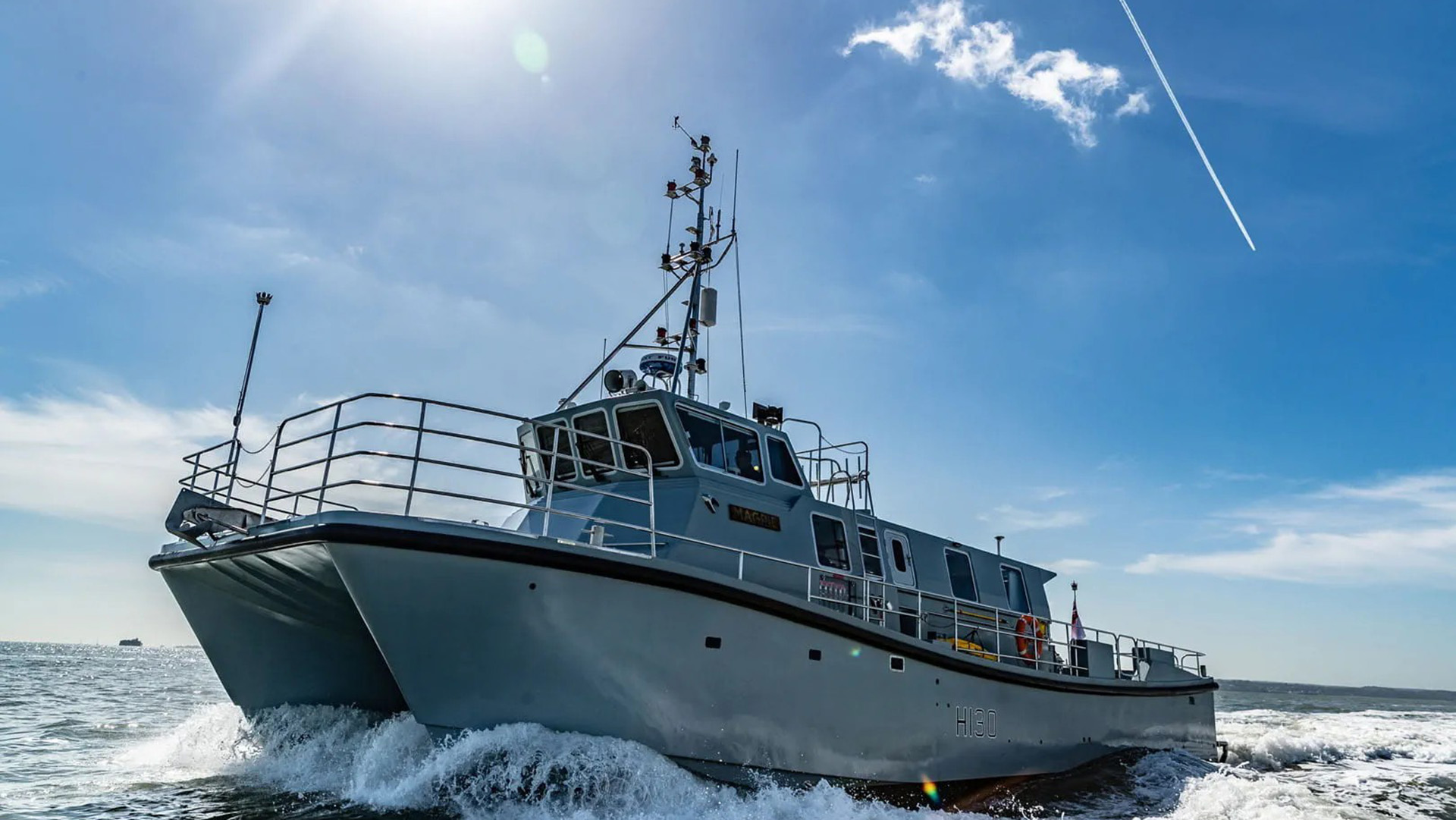
HMS Magpie: The small boat capable of creating the big picture below the water

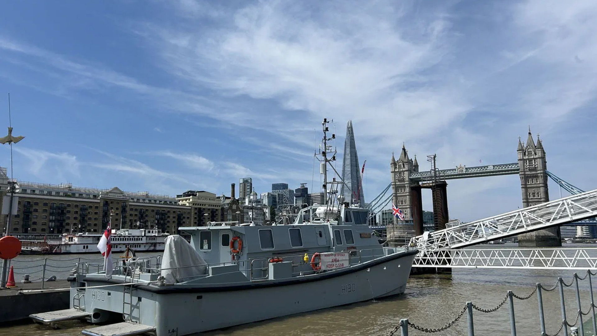
This vessel may be one of the smallest ships in the Royal Navy's arsenal, measuring 18 metres long and weighing in at 37 tonnes, but it has a substantial role in the Senior Service.
HMS Magpie replaced the veteran survey launch HMS Gleaner, which retired in 2018 after 35 years of service.
Her main role is to build highly accurate bathymetric – water – data to support military operations in inshore waters as part of the Royal Navy's Hydrographic Squadron.
Therefore, the vessel is often used to trace underneath the UK's ports, harbours and waterways.
She is operated by several specialist Royal Navy hydrographers and at present is helmed by Lieutenant Daisy Nelson.
The current ship is one in a long line of vessels christened HMS Magpie that have been deployed by the Royal Navy dating back to 1806, when the Cuckoo-class schooner was equipped with four 12-pounder carronades and sailed by 12 personnel.
Magpie's capabilities
These personnel use the latest survey equipment to comb the water for large amounts of data.
She has an EM2040 multibeam echo sounder that can shoot more than 500 individual sound pulses into the water column at once, 400 times a second.
The area covered by a 'ping' depends on the depth of water.
Through this technology, the inshore survey vessel can create a complete image of the surrounding area, including the depth, topography, and seabed type, accurate to a centimetre.
Notable deployments
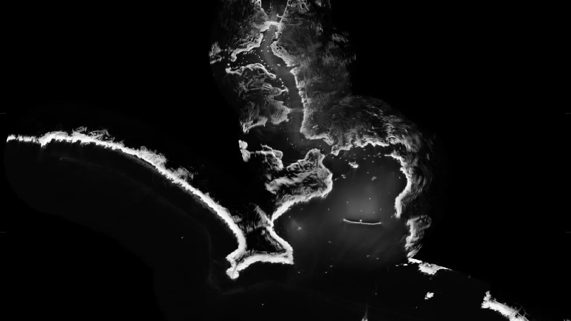
In 2026, she has been gathering vast amounts of data, in particular around London Gateway – the second most important container port in the UK – to create a detailed picture of the Thames' riverbed and any changes to it, either through natural causes or potential interference by unknown actors.
Four years earlier, the vessel ventured to the northeast as she completed an extensive analysis of the River Tyne to help ensure that shipping flowed smoothly.
"The River Tyne is a large, busy and complex body of water with depths subject to regular change due to silting and tidal action," said Magpie's then-Commanding Officer, Lieutenant Commander Hywel Morgan.
"Magpie's work is key to maintaining a sound understanding of these waters and ensuring safe access to the upper reaches of the river by naval ships."
The vessel, which was named after the only warship Prince Philip commanded during his 14-year naval service, has been used beyond her surveying abilities to test brand-new technology.
In 2021, the Royal Navy said that the ship was able to chart the waters around Plymouth using regular radar and a specialist computer programme which measures wave height.
The method, created by scientists from the National Oceanography Centre in Liverpool and Ministry of Defence experts from the Defence Science and Technology Laboratory, involved using the data from the currents to map a profile of the seabed in a few hours, instead of manually sailing over the area.
Related topics
Join Our Newsletter