What Use Is The Shipping Forecast To The Royal Navy?
For many, it’s the thing that helps them to drift off to sleep each night - but for the Royal Navy, and sailors around the world, it’s a lifeline that allows them to navigate waters safely.
It was one night in October 1859 that saw the birth of the shipping forecast, at least as an idea.
On that night, the Royal Charter Storm saw nearly all of the 500 souls aboard the Royal Charter Ship lost to the sea.
There were only 29 survivors, and the tragedy prompted a call for a way of predicting the weather at sea so that ships may be stopped from leaving their ports in the case of a storm, and further tragedies prevented.
So, under the leadership of Royal Navy Admiral Robert Fitzroy, the Meteorological office was founded in 1854.
The initial aim of the infant Met Office was simply to gain a better understanding of weather patterns.
Anemometers were placed at various locations around the Atlantic Ocean in order to track wind speed and direction, and log books were kept by ships travelling around the world recording pressure, winds, sea temperature, and currents.
Five years later, on 6th February 1861, the first official forecast was given.
In 1865, Admiral Fitzroy sadly passed away, and the forecasts were halted - but there was a huge national outcry, and they were re-introduced.
The shipping forecast has now gone uninterrupted, four times a day, every day, for 150 years.
Of course, it wasn’t until 1925 that the shipping forecast was heard over the BBC airwaves, but it quickly became an important fixture of the daily programming.
Although it was taken off the radio during the war for the fear that it would aid the enemy, the information was still distributed to the Royal Navy so that they might continue operations safely.
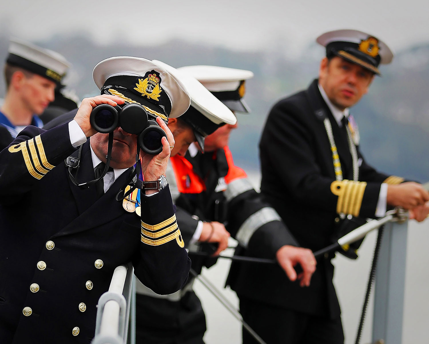
Captain Robert Pedro, Commanding Officer of HMS Ocean, spoke to BBC Radio 4’s Today Programme about how the shipping forecast plays a role in modern-day Naval operations:
“Of course every Naval captain is instinctively interested in the weather- the information that the shipping forecast provides is a very succinct and accurate summary of the weather in the area in which we’re operating.”
“But of course the complexity of operations today dictate that we need far greater detail, so we now use an array of internet products as well”.
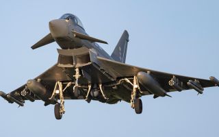
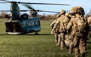
“[The shipping forecast] impacts on absolutely everything we’re doing, in both surface, sub-surface and air domains. And of course, HMS Ocean is a helicopter carrier, so having accurate predictions of sea state, wind direction and visibility enables us to plan our operations and conduct them safely”.
“We’re currently operating in the southwest, in the Plymouth area. The weather is pretty good for us as we conduct our flight ops, before deploying on operations next week”.
With 97% accuracy for inshore waters and 93% accuracy overall, it’s no surprise that the shipping forecast still plays a vital role in keeping the Royal Navy safe, despite the many advancements in technology since its invention.
Watch our special forecast made by the Met Office for HMS Ocean to see how it all works in practice...
Related topics
Join Our Newsletter